How to Create a Geofence in Seconds (Video)
Drawing a geofence might take less than a minute, but this capability can save you in time, cost, and risk.
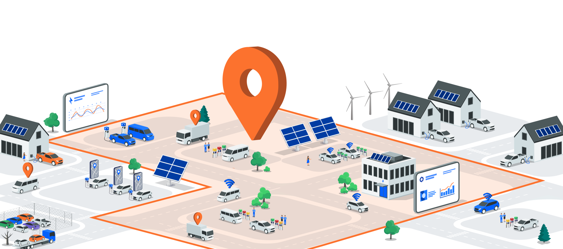
Many fleets use geofencing to location-track vehicles and ensure those vehicles remain within their designated territory. This helps prevent delivery route overlap and vehicle misuse. Today, an increasing amount of fleets are using geofences more in-depth to monitor whether a vehicle is where it shouldn't be - like an impoundment lot or another non-designated area that could signal theft of tools, costly ticketing, or home-use of a company car.
In this video you'll learn:
- How to draw a custom geofence using an address as a starting point
- How to name your geofence
- How to select a geofence date-range
- How to save a geofence and start using it to safeguard your fleet
Watch video: https://youtu.be/P3CYwvMh6ac?si=gToe-Z_OXfpzy0Px
Looking for more live insights? Contact our team to learn more.
See what connected vehicles can do
OEM connectivity brings visibility without added hardware costs. Meet with a Motorq expert and see how connected vehicle intelligence can support your business.